Multi-Domain Unmanned Systems
KAYRA USV
Key Capabilities
Built & Field-Tested
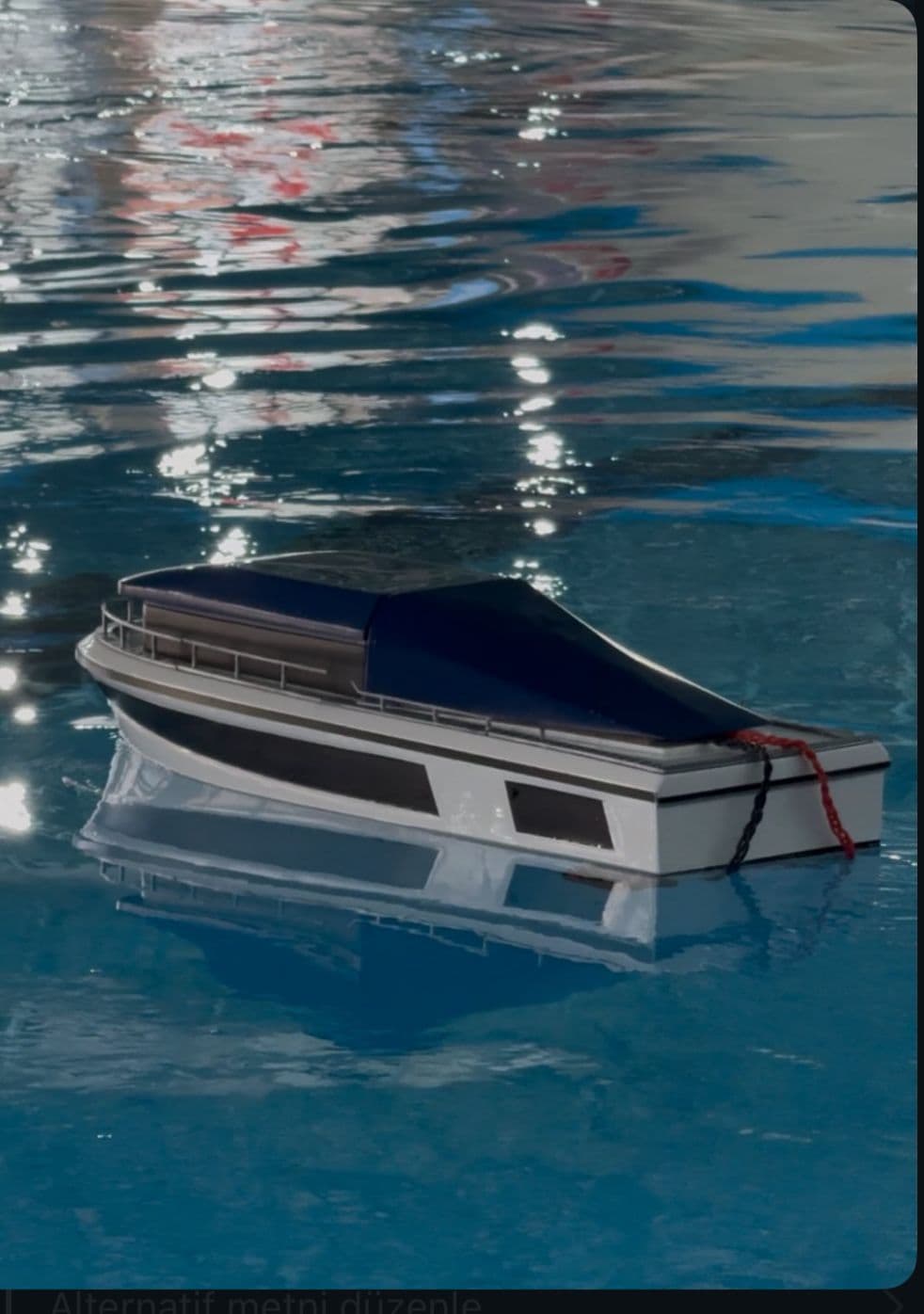
KAYRA USV
THE HIVE MIND
One integrated fleet — air, surface and subsurface platforms sharing a single command network.
Engineering Excellence
Proven, field-tested systems engineered across air, surface, and underwater domains.
Edge AI Computing
Jetson Orin Nano Super running ROS 2 for onboard autonomy — real-time point cloud processing and YOLO-based computer vision at the edge.
Training & Test Platform
Remotely operated training vessel for crew training, hull and propulsion testing, and payload integration trials — with a 40+ km long-range RC link.
Navigation & State Estimation
EKF-based sensor fusion integrating GNSS, IMU and 3D LiDAR for precise positioning and drift compensation in dynamic sea states.
Perception Suite
3D LiDAR and stereo camera fused for 360° obstacle detection, target tracking and real-time environment mapping.
Open Autopilot Stack
Cube Orange and the ArduPilot ecosystem — ArduCopter in the air, ArduSub below the surface — unified over MAVLink.
Long-Range Command
Satellite link plus long-range RF for beyond-line-of-sight command, control and telemetry.
Dual Avionics Architecture
One airframe, two configurations: an ultra-low-cost ESP32 stack, and a Gemstone companion computer running ArduCopter with ROS 2.
Vectored Propulsion
6-thruster vectored layout delivering full 6-DOF maneuvering and precise station-keeping.
Safety Systems
Remote emergency shutdown and watertight flanged O-ring sealing for fail-safe operation.
Aerodynamic Optimization
½ power nose cone with a 2.8 fineness ratio and clipped delta balsa fins — tuned for minimum drag across the flight speed profile.
Next: Fiber-Optic Torpedo
In development — fiber-optic guided subsurface platform targeting 100+ km range and 500+ m depth.